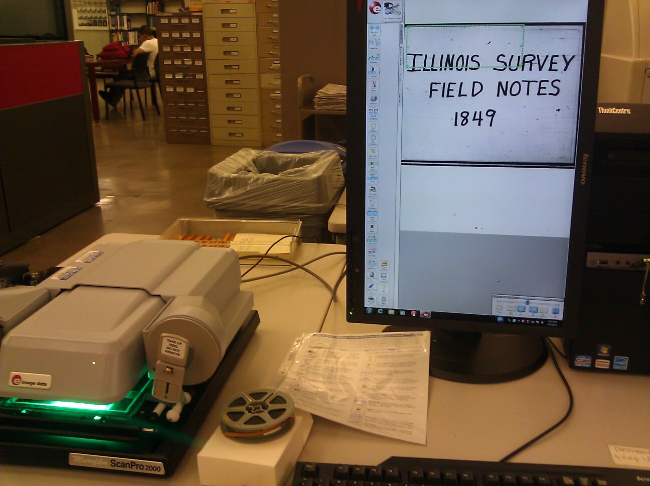
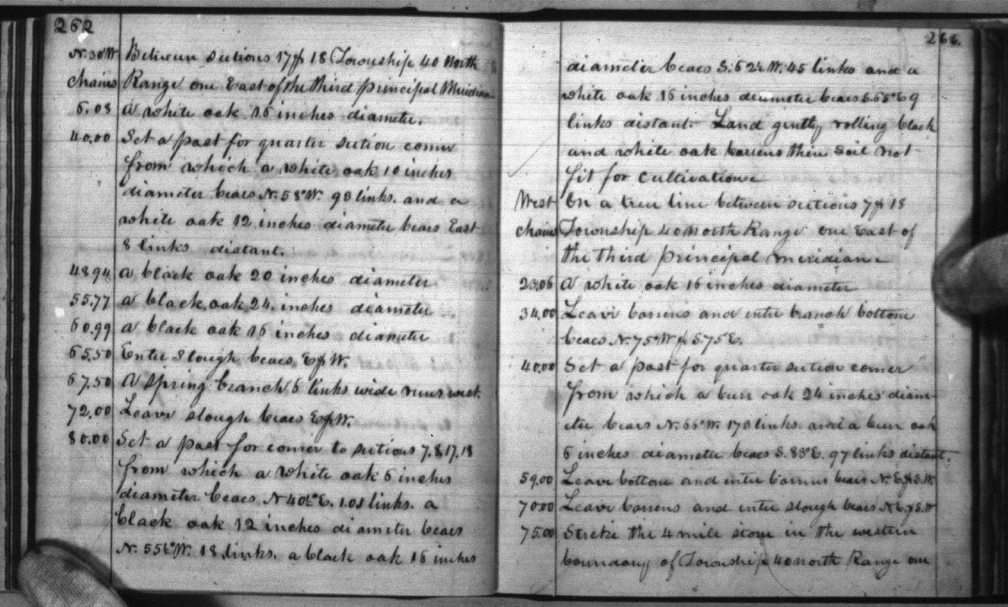
I spent a few hours at the UIC Daley Library last week looking at maps and trying to decipher the handwritten field notes of land surveyors from their treks throughout Illinois in the early to mid 1800s. The field notes were used to create maps depicting areas generalized with broad descriptions like “timber,” “slough,” “prairie,” as well to identify major bodies of water, existing settlements, and soil quality for farming purposes.
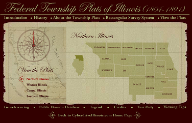
The Illinois State Archives has a website where the federal township plats are accessible, but as far as I have found, the actual field notes, which contain more details than the maps, are still only in microfilm format. It was my first experience viewing documents on microfilm, which was greatly facilitated by the digital interface, making it quite easy to save multiple pages to a single pdf. To figure out which reel of film the specific township’s field notes are on, there is a map of Illinois in the library’s maps department showing the townships’ associated volumes. I don’t believe that map has been digitized either, but follow this link to view a helpful guide assembled by some UIC professors about how to find notes for the area you’re interested in: Step-by-step instructions to find the Federal Surveyors’ Field Notes at UIC (Illinois). Here also is a site where you can enter the latitude & longitude in order to find the site’s township, section, & range (there’s also a Google Earth file you can download, which is wonderful).
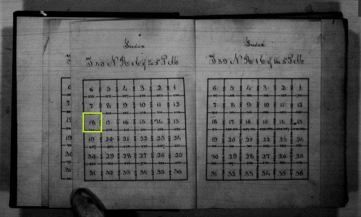
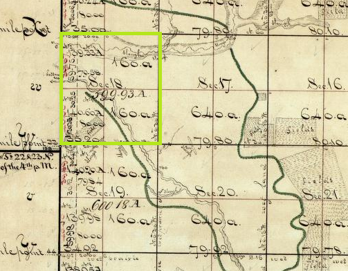
Outlined in lime green is a specific section within a township I was interested in researching. While much of the area depicted in this particular section (1 square mile, right) is currently cultivated, residential, restored prairie, sedge meadow, secondary growth, planted pines, and densely packed oak-hickory woodland with a honeysuckle understory (currently being managed), the historic township plat and field notes indicate that it was historically woodland (?), slough, wet prairie, and “gently rolling black and white oak barrens.” The dark green line marks the border of a wooded area. Just another piece of the puzzle (along with geology, topography, soils, current vegetation, current and future land use, surrounding gene pools, wildlife habitat opportunities and nuisances, etc!) when planning the restoration and stewardship of natural areas.
Next, I hope to get my hands on this old article to gain a further understanding of the notes:
Hutchison, M. 1988. A guide to understanding, interpreting, and using the Public Land Survey field notes in Illinois. Natural Areas Journal 8:245-255.
Did you ever get your hands on the Max Hutchison article?
Yes it’s online now! https://www.jstor.org/stable/43911019
They digitized the microfilms! All up at the National Archives!
https://catalog.archives.gov/search?q=*:*&f.parentNaId=566714&f.level=fileUnit&sort=naIdSort%20asc
hell yeah
FYI. T26N R2E of the 4th Meridian (Much of Hanover Township) in Jo Daviess County is not in volume 127 as the master map in the front of all the volumes indicates despite also being indexed in that volume (albeit nonsensically). I went to volume 123 to at least find a nearby township boundary transect and instead found the interior section boundary notes I was looking for. I suppose scanning the National Archive was better than microfilm, but oof. Saying WI notes are easier to find would be an understatement.